An instrument for reading the Earth's record across disciplines that rarely speak to each other.
What it is
Its purpose is comparison.
The Earth Resonance Map is an interactive, coordinate-aligned globe built by the foundation and already used in its research. It lets a researcher lay many kinds of record over one another and read them together, so a temple's orientation, a geological survey, a groundwater map and a culture's origin account can be compared in one sitting, site by site, rather than one field and one map at a time.
One place, many layers
Everything on one surface, where it would usually take a dozen tools.
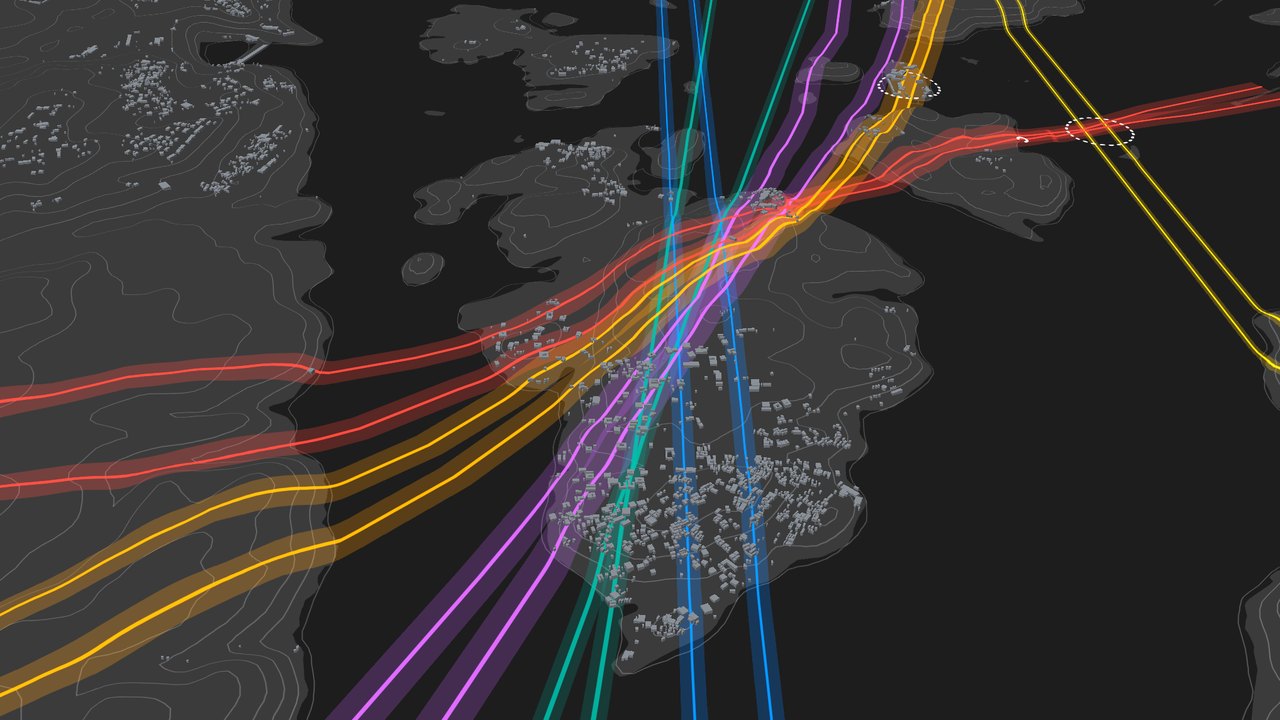
Most of these records live in separate software that cannot show them together. The map brings them onto a single coordinate-aligned globe, in 2D and in 3D, so they can be layered, compared and read at once. The point is not to certify each dataset, but to hold them in one place, where correspondences across disciplines can finally be seen. This is what lets research happen the way the institute intends.
What can be layered, on one surface:
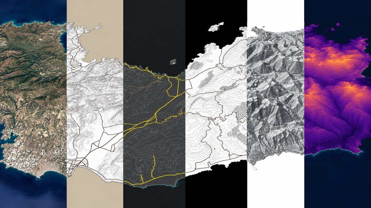
Maps and terrain, across 2D and 3D systems, vectors and topographies, with advanced 3D visualisation.
Seven base modes so far, from satellite and topography to vector bases in dark, canvas and parchment, heatmaps, official cadastres, site plans and historical maps, each rendered in 2D or 3D and fully adjustable, so the base suits whatever dataset is being read.
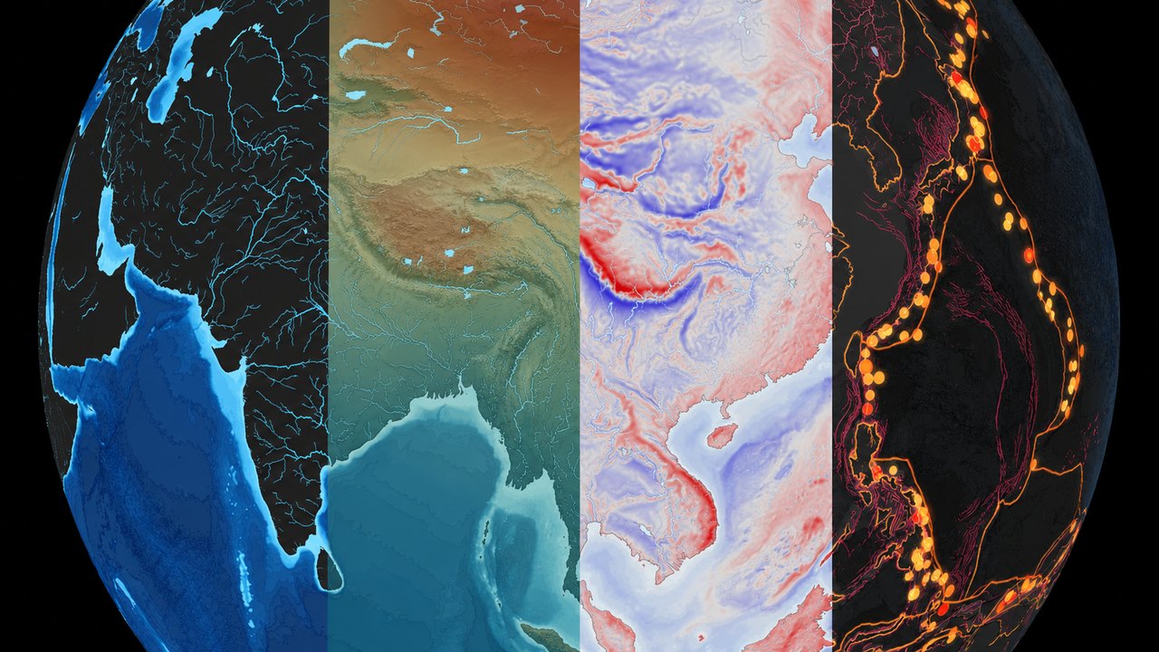
Scientific datasets, from geophysics and geomagnetics to climate, hydrology and seismic.
Geomagnetic field strength, tectonic boundaries, volcanic and seismic zones sit beneath the sites and lines. Every dataset has been 3D tiled and stays adjustable, for clearer and more accurate reading across the board.
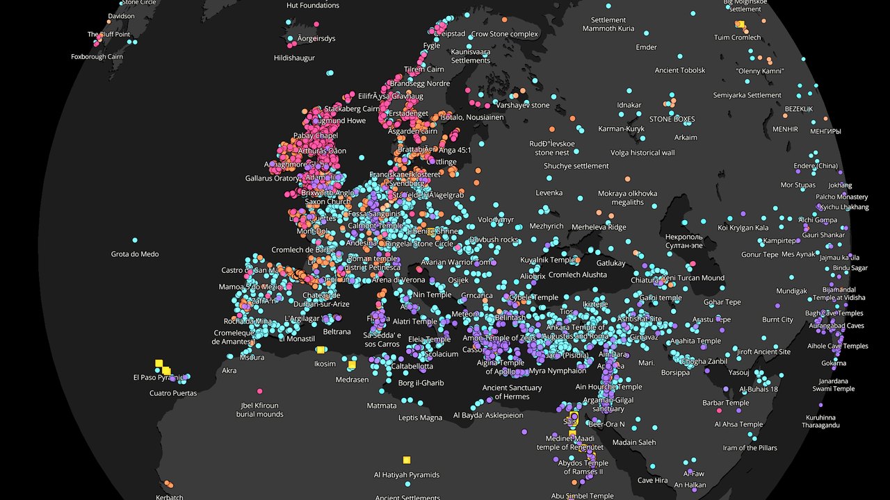
The human record, an ever-growing catalogue of 70,000 sacred sites alongside ancient maps, trade routes, empires and civilisations.
Sites can be filtered by type, region and period, from stone circles, dolmens and temples to holy wells and sacred mountains, and a timeline follows civilisations as they rise and recede, from around 10,000 BCE to the present.
Energetic research, earth energy lines, every documented planetary grid and alignment, energetic vortexes and nodes.
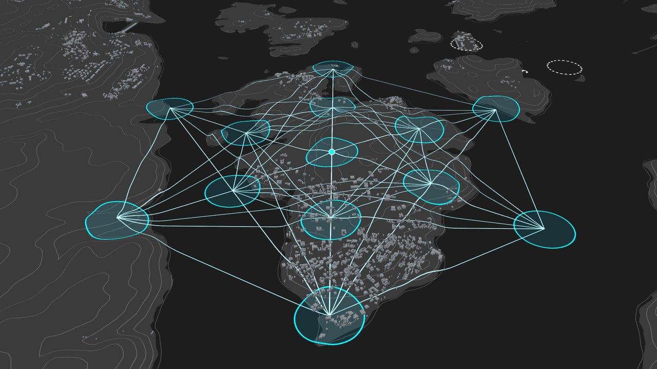
Ley lines, dragon lines and sound lines each keep the name their tradition gives them, alongside the classifications of energetic nodes studied so far, Platonic solid grids and documented long-range alignments.
Measure and geometry, geodesic overlays from Pythagorean to Sacred Geometries, local-to-global alignment detection, inter-civilisation units such as the metre, the cubit and the megalithic yard, and tools that read a site by its own structural design.
Correspondences between sites are found at global, regional and local scale, graded and precise to the metre. The main sacred geometries, angles and proportions are also detected in a structure's plan, in the landscape around it and across the sites it connects to, giving a deeper picture of their intentions, uses and relationships.
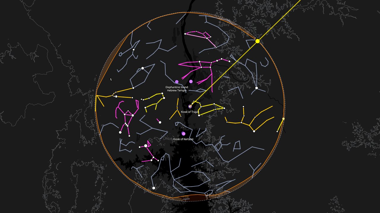
The sky, geolocated solar cycles, moon phases and lunar standstills, with the institute's own detection of alignments to every star and constellation and where they converge, graded by relevance and adjusted to the site's local horizon profile.
Alignments can be read for any epoch, from 30,000 years back into the future, so a site is checked against the sky as it stood when it was built, and a new structure can be set in coherence with the sky it will stand under.
Underneath, it works like an operating system: it takes data in many formats, makes it compatible on one surface, and exports finished research in professional, streamlined formats.
many formats→one surface→finished research
The grade is part of the image
Every layer shows what kind of knowledge it is.
Because so many kinds of record meet here, each one carries its evidence grade in plain view. A computed solar alignment, a measured field, a documented observation and a surveyed energy line can share one surface without being made to look equally certain. This is the institute's method made spatial, and it is what lets the map hold the full range of what is known about a place while staying honest about which is which.
established
documented
open question
speculative
discredited
A four-step approach, past and future
One approach, reading the past and shaping the future.
The instrument is applied through a shared reading of a place, in four steps. Each is measured with recognised field tools and cross-checked against the others.
The land
Its energetic structure, mapped with magnetometers and gradiometers for the geomagnetic field, earth-resistivity and self-potential survey for the currents in the ground, and low-frequency acoustic and vibration sensors for the lines and nodes, cross-checked with trained field survey and fixed by satellite positioning.
Proportion and connection
Its geometry, from precise geodetic positioning, great-circle and angle detection, golden-ratio and canonical proportion, inter-civilisation units of measure, and sacred-geometry overlays projected onto the globe.
The sky
Its orientation, from on-site measurement of the structure and its true local horizon, matched against the sun, moon, stars and constellations for any epoch, with full precession mathematics and convergence detection.
The human
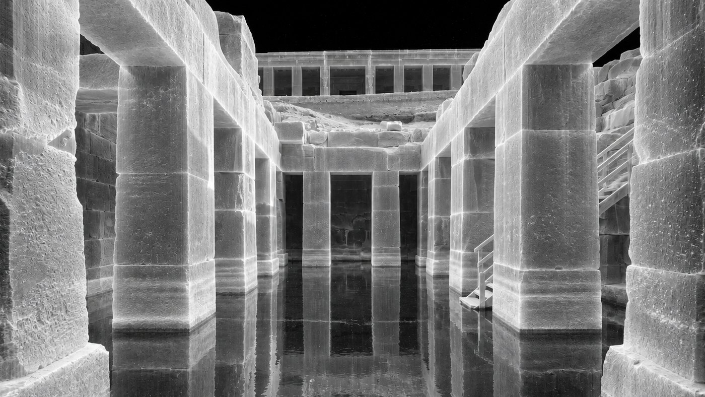
Its felt environment, from geophysical, air-ion and acoustic survey on site, including the resonant frequencies of enclosed spaces and their measurable effect on perception.
Read together, and each finding graded, the four give a fuller account than any one alone. The same four steps, and the same instrument, can be turned toward the past or toward the future.
Archaeology In use
Reading the past
Applied to sacred and unresolved sites, the four readings meet the questions excavation leaves open, and every finding is placed, graded, on the same coordinate space as the dig, so the two records inform one another. Already in use in the foundation's research.
Development In development
Shaping the future
Turned forward, the same four readings become design intelligence for new places meant to connect people with nature, reading the land so a building can be sited, oriented, proportioned and detailed in dialogue with it. A newer development, carrying the instrument beyond the study of the past.
An instrument for looking carefully, and comparing.